
Printable Voyage Log
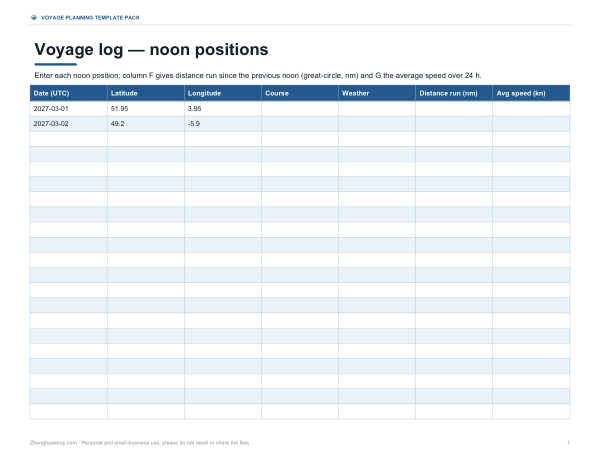
This voyage log is for captains, navigators, and anyone tracking a sea passage by noon position. It includes columns for Date (UTC), Latitude, Longitude, Course, Weather, Distance run (nm), and Avg speed (kn). The sheet shows sample rows for 2027-03-01 and 2027-03-02, and the distance run column is meant to show the great-circle distance since the previous noon, with average speed over 24 hours in the next column.
Free printable · PDF
- 3 pages
- US Letter, landscape — choose “Fit to page” for A4
- PDF, 101 KB
Free for personal, family and classroom use.
Use one row for each noon position and fill in the date, coordinates, and passage notes as you go. Add course and weather if needed, then check the distance run and average speed fields for each day. Print the three pages and keep them with your voyage papers or use the file on screen during passage planning and log updates.
Good for
- Track daily noon positions at sea
- Record passage distance and speed
- Log weather and course notes
Tip: Print in landscape so the full set of columns stays easy to read.
5 files · PDF, DOCX, XLSX
Get every sheet: Voyage Planning Template Pack
This sheet plus 4 more in one download, with the editable Word and Excel files. Passage plan template with waypoint table, voyage log spreadsheet with noon positions, a fuel and speed workbook, a port call checklist and a nautical conversion card.
$5.00 USD, one-time 5 files · about $1.00 each
- Instant download
- 7-day refund
- Secure checkout by Stripe
7-day money-back guarantee. Full refund within 7 days of purchase, even after you download.
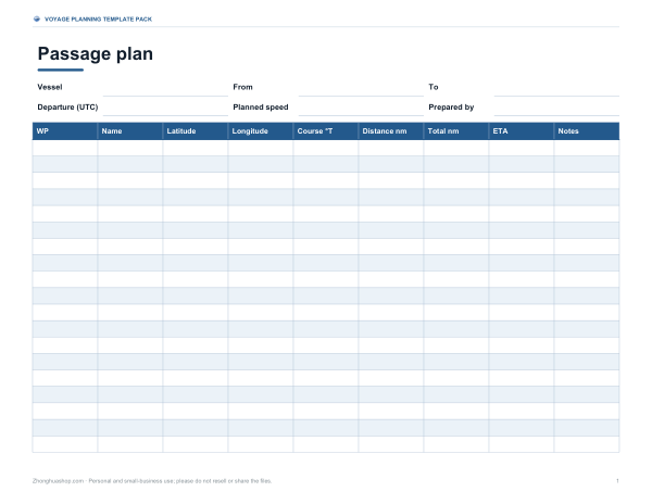 Printable Passage Plan Template
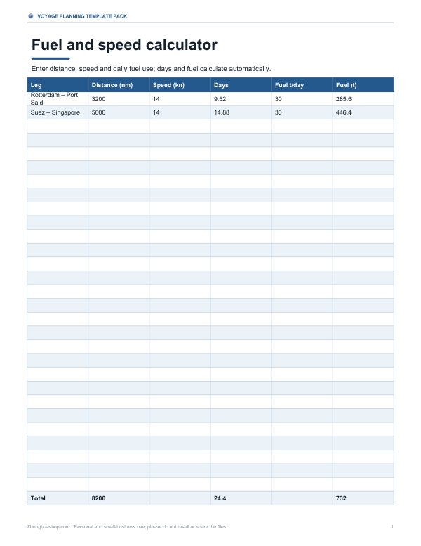 Printable Fuel and Speed Calculator
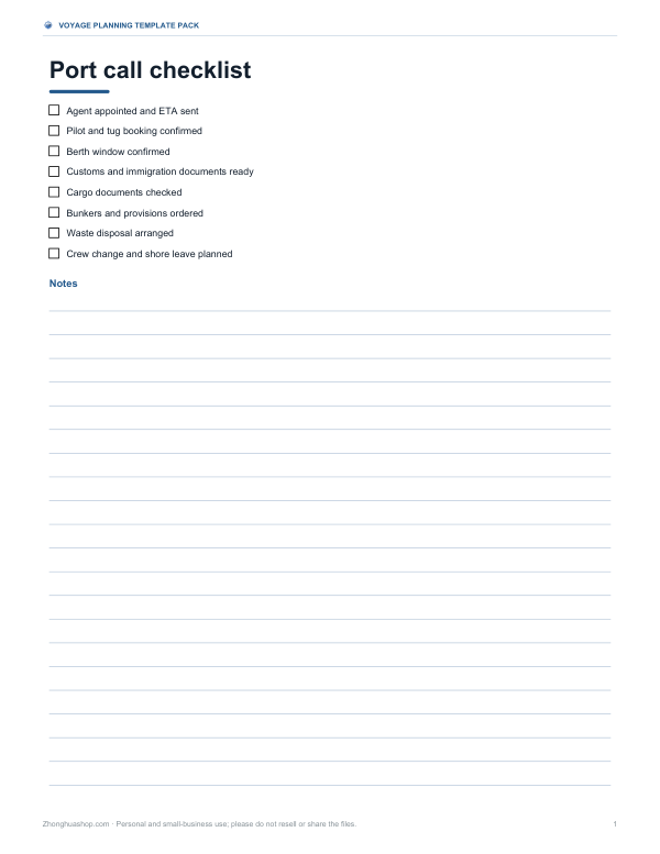 Printable Port Call Checklist
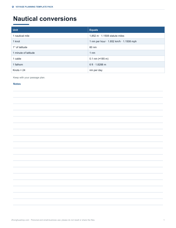 Printable Nautical Conversion Card